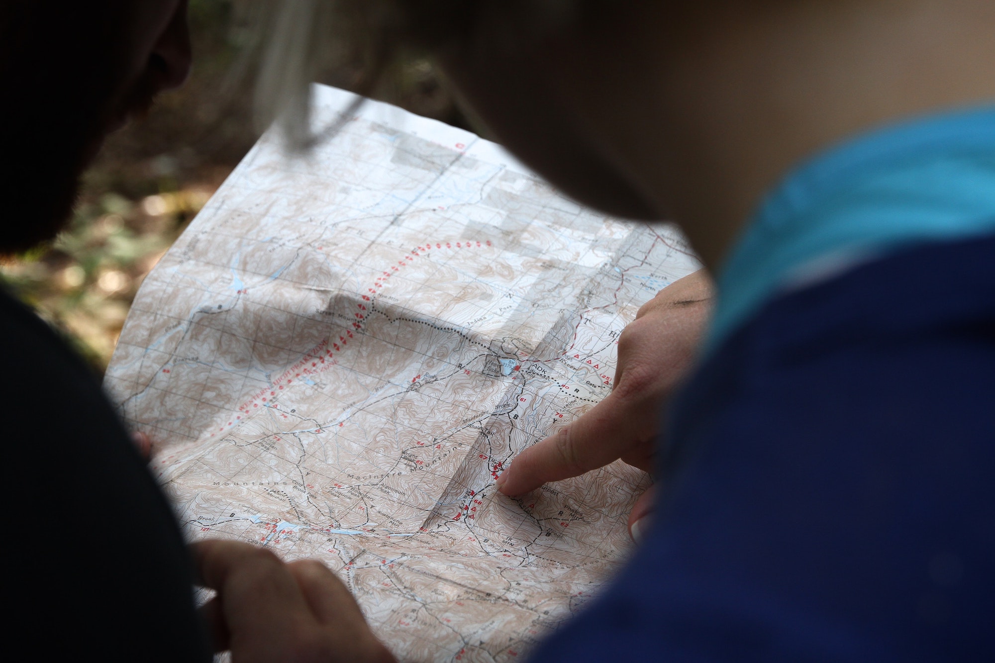
What we do: We turn data into cartographic information to visualize, explore, query, and present it in the form of MAPS: county MAPS, City MAPS, Water System MAPS, and Sewer System MAPS; Comprehensive Plan MAPS, Highway Planning MAPS, 911 Response MAPS; economic development MAPS, Natural Hazard Risk MAPS, and Natural Disaster Response MAPS, yes, maps, hard copy MAPS or computer MAPS.
How we do it: The Purchase ADD GIS Team has an integrated suite of hardware and software tools to capture data (Trimble GPS and Base Station), analyze data (ArcMap 9.3.1), retrieve information (over 2.5 Tb storage), and disseminate/display the resulting MAPS (color plotters/e-files) the economic, demographic, and environmental landscape.
Contact Us: Our GIS Lab is located in the PADD office building. Maps of our location and warehouse are at the link below. How to find the PADD. GIS Staff members can be reached at 270.251.6138.
Maps of the Area: Click the links below to access our public map catalog in ADOBE .pdf format. Adobe Reader is universally available to the public, and the format conserves file size. You can zoom in on the portion of the map that you want or print it on the whole map. A word of caution: most maps were designed to be printed at a large size (i.e., 36” X 36”), so printing a map in its entirety on 8.5X11 paper may not serve you well.
- Economic development maps
- Environmental maps
- Maps of the Jackson Purchase Area
- Maps of each Purchase County
- Maps of each Purchase City
- Photomaps of each Purchase City
- Purchase County 100 year flood zone maps
- Wastewater site visit maps
- Water site visit maps
For other PADD Program map links and project information, please see the Regional Transportation Planning and Water Management Council on the PADD Website.
For an interactive map of the Commonwealth of Kentucky, please click here.
You can type in a county or a city, and the map will zoom to your choice. You can pan or zoom anywhere on the map. The further you zoom in, the more information will be displayed. At 1:10,000 scale, the topographic map background will become an imagery background.
To visit the McCracken and Paducah GIS, click here.
For more information, please call 270.247.7171 or email us.
